Workplane Coordinate System |
  
|
Local coordinate system (LCS) of a workplane is used for calculating 2D elements drawn on such workplane.
LCS origin of a standard workplane coincides with the projection of global coordinates system (GCS) origin onto such workplane. LCS axes are parallel to GCS axes in this case, their direction may coincide or be opposite.
LCS of a workplane based on LCS is defined by the LCS used for creating the workplane.
LCS of a workplane based on 2D projection is defined by the LCS of the 2D projection used for creating the workplane.
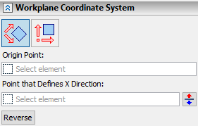
LCS of a workplane of any other type can be customized using the Workplane Coordinate System tab of the Parameters window in workplane creation and editing commands. Two types of CS are available in such case:
|
Custom CS |
|
Global CS |


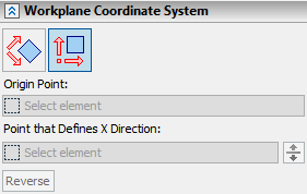
Using this option makes workplane LCS origin position and axes orientation depend on the projection of global CS onto such workplane.
For workplane parallel to screen axes orientation coincide with screen CS (X - horizontally right, Y - vertically up).
The rest of controls in the Workplane Coordinate System tab become inactive upon selecting global CS.
This option allows you to specify 3D points, the projections of which on the created workplane will determine the position and orientation of the axes of the workplane coordinate system.
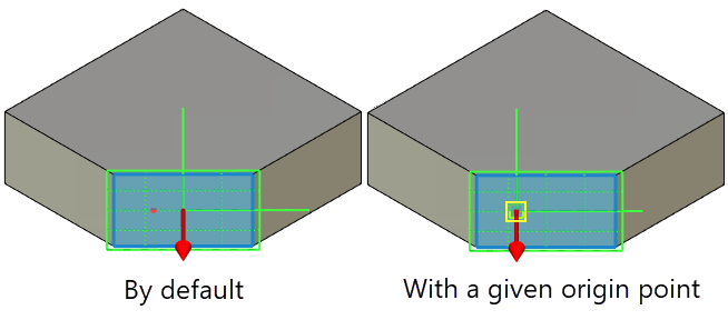
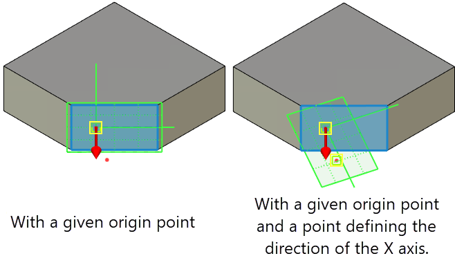
Using the Origin Point option, a 3D point is selected, the projection of which onto the workplane will be the new origin point.

The option Point that Defines X Direction allows you to select a 3D point, the projection of which onto the workplane will set the direction of the X axis of its system.

In addition to LCS controls the Workplane Coordinate System tab of the Parameters window also contains the ![]() Reverse button. It switches a normal direction of a workplane to an opposite one.
Reverse button. It switches a normal direction of a workplane to an opposite one.
See Also: